Social Distance on Stair and Trail
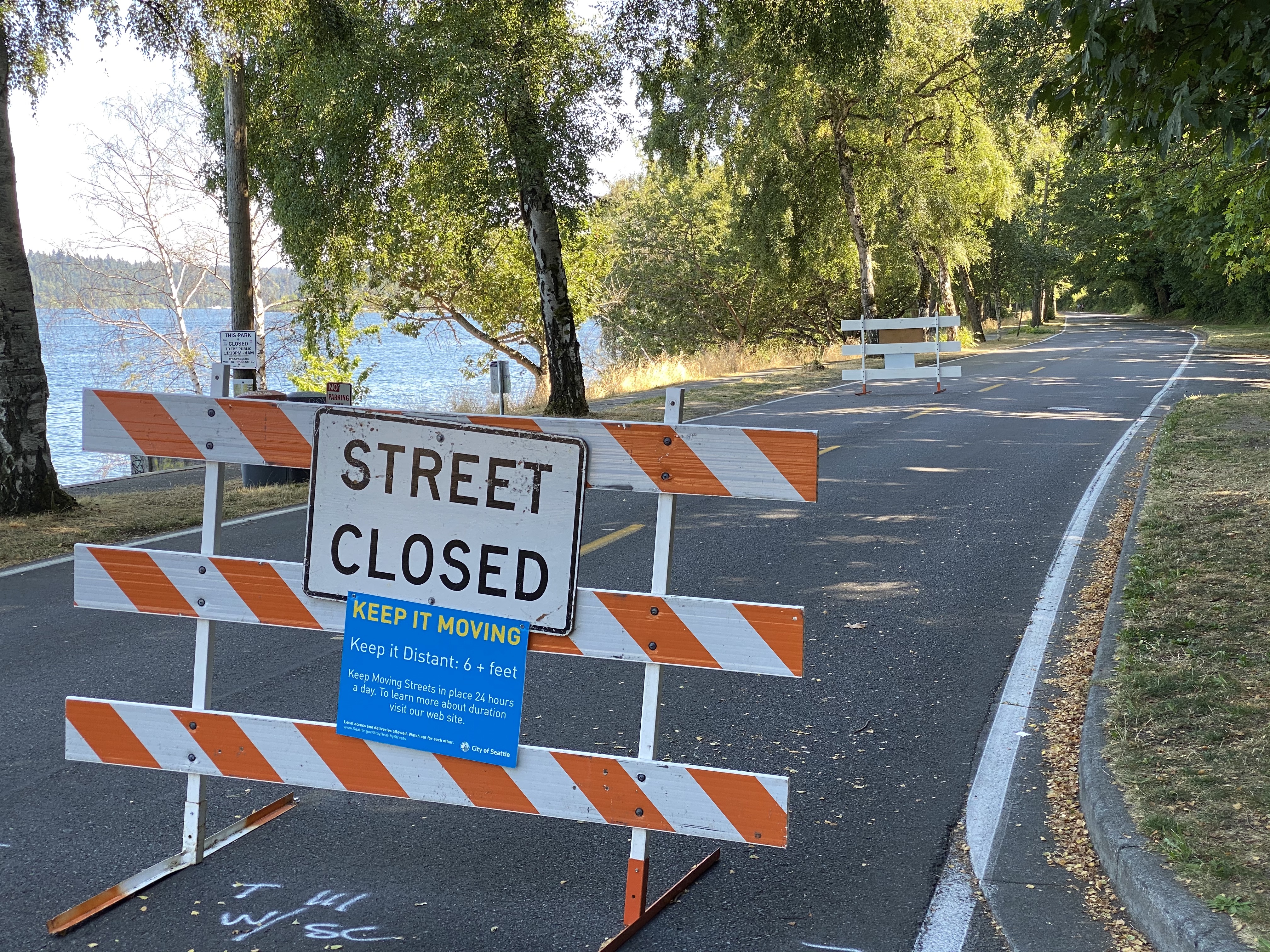
This July, in order to provide additional outdoor options during the pandemic, the City of Seattle made a three-mile stretch of Lake Washington Boulevard car-free. The expanded space along the lakefront now gives plenty of room for walkers, runners and cyclists to enjoy their pursuits while staying well apart. Stairways at either end of our walk are lightly traveled and mostly obscure, even hidden. That meant we could enjoy beautiful lake and neighborhood views with little of the stress that comes from keeping an eagle-eye out for others.
The pictures below show some highlights and locations, but we leave you the fun of stitching it all together into your own socially distanced stairway walk! All of it takes place within the historic development called the "Mt. Baker Park Addition," with its unusual concentration of architect designed houses built mostly between 1910 and 1920. Mt. Baker Park and Boulevard were added to the National Register of Historic Places in February 2020, along with Colman Park and the Dose Terrace Stairs.
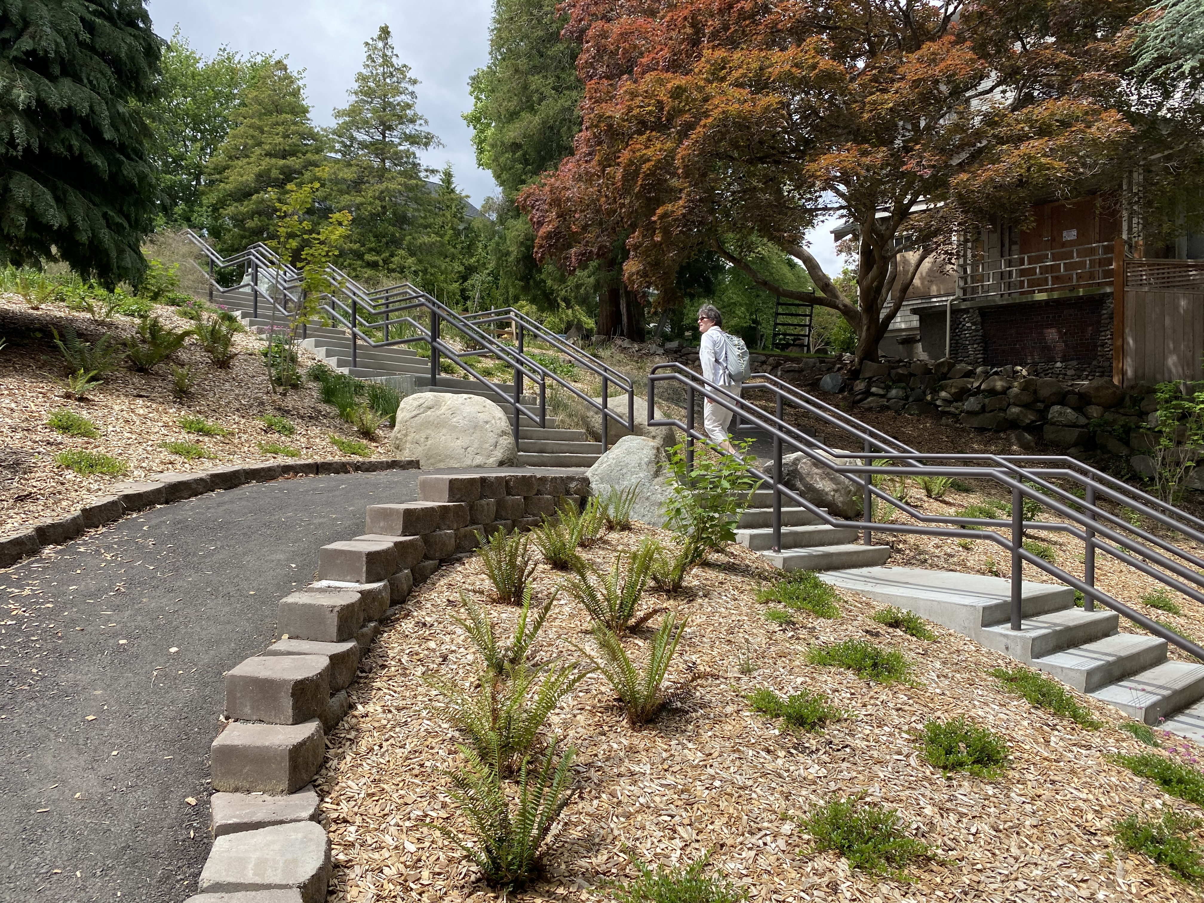
We started our walk from the neighborhood on the southwest side of Mt. Baker Park, taking brand-new city steps down into the park. We walked southeast through the park in the direction of S McClellan St, where the right-of-way to the neighborhood above consists of a switchbacking sidewalk on a heavily wooded hillside. The switchbacks finish at S McClellan St and Mt St Helens Pl S.
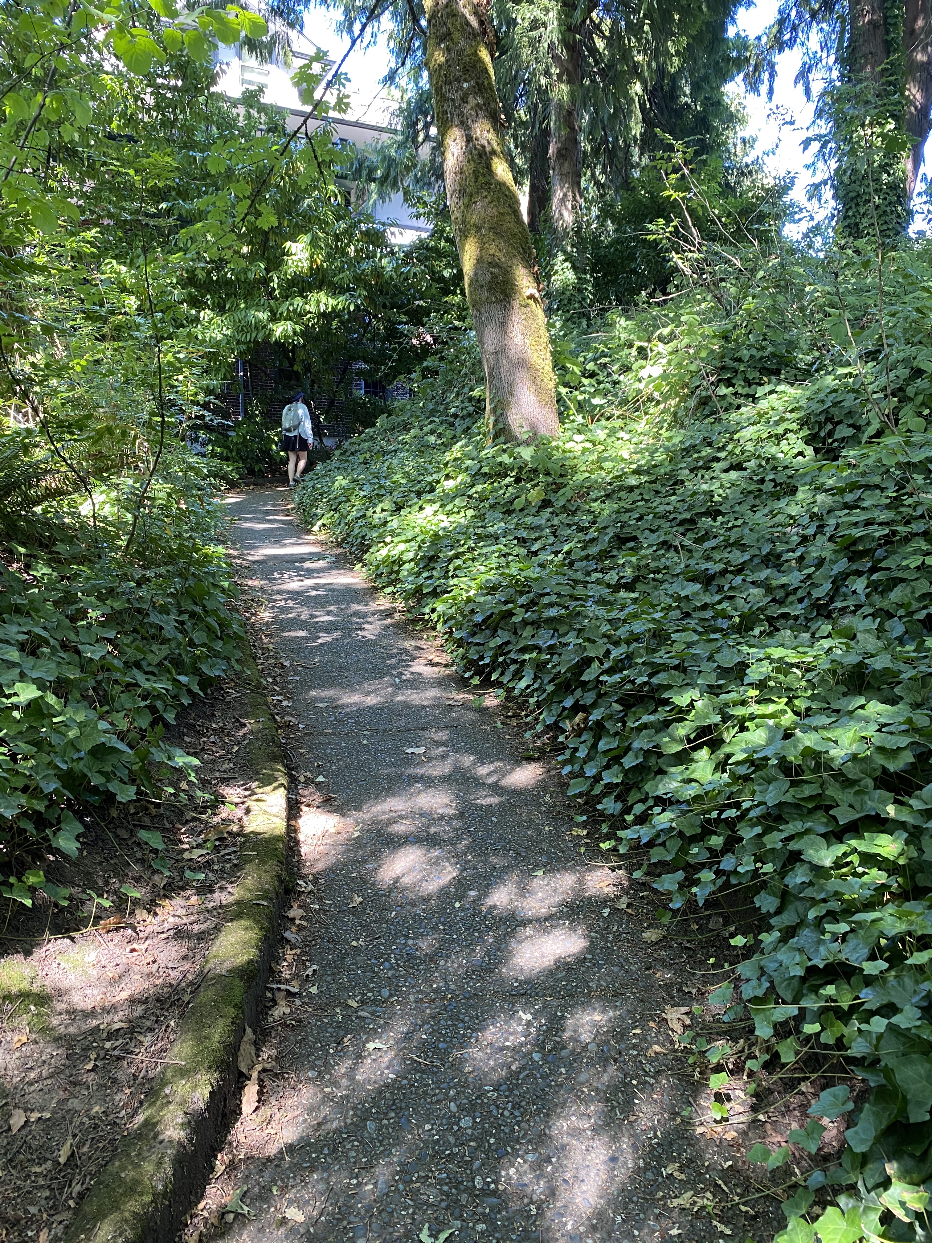
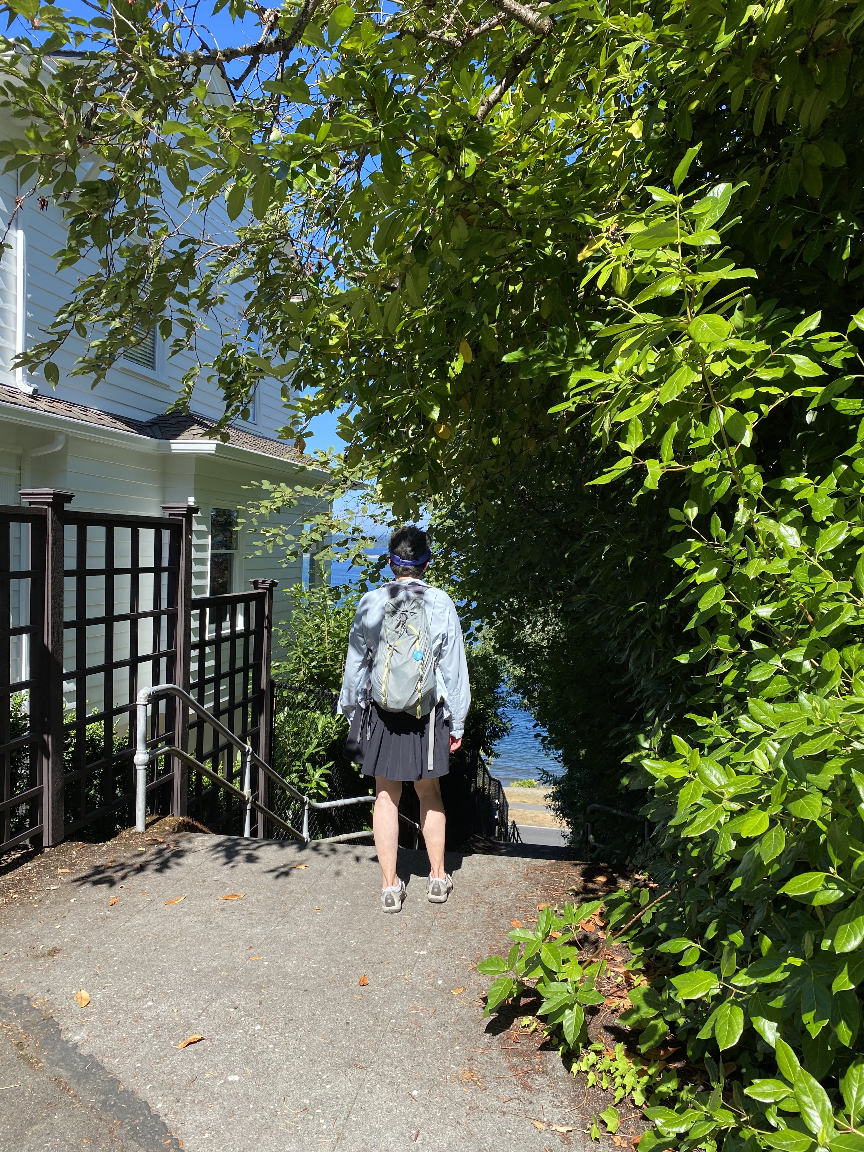
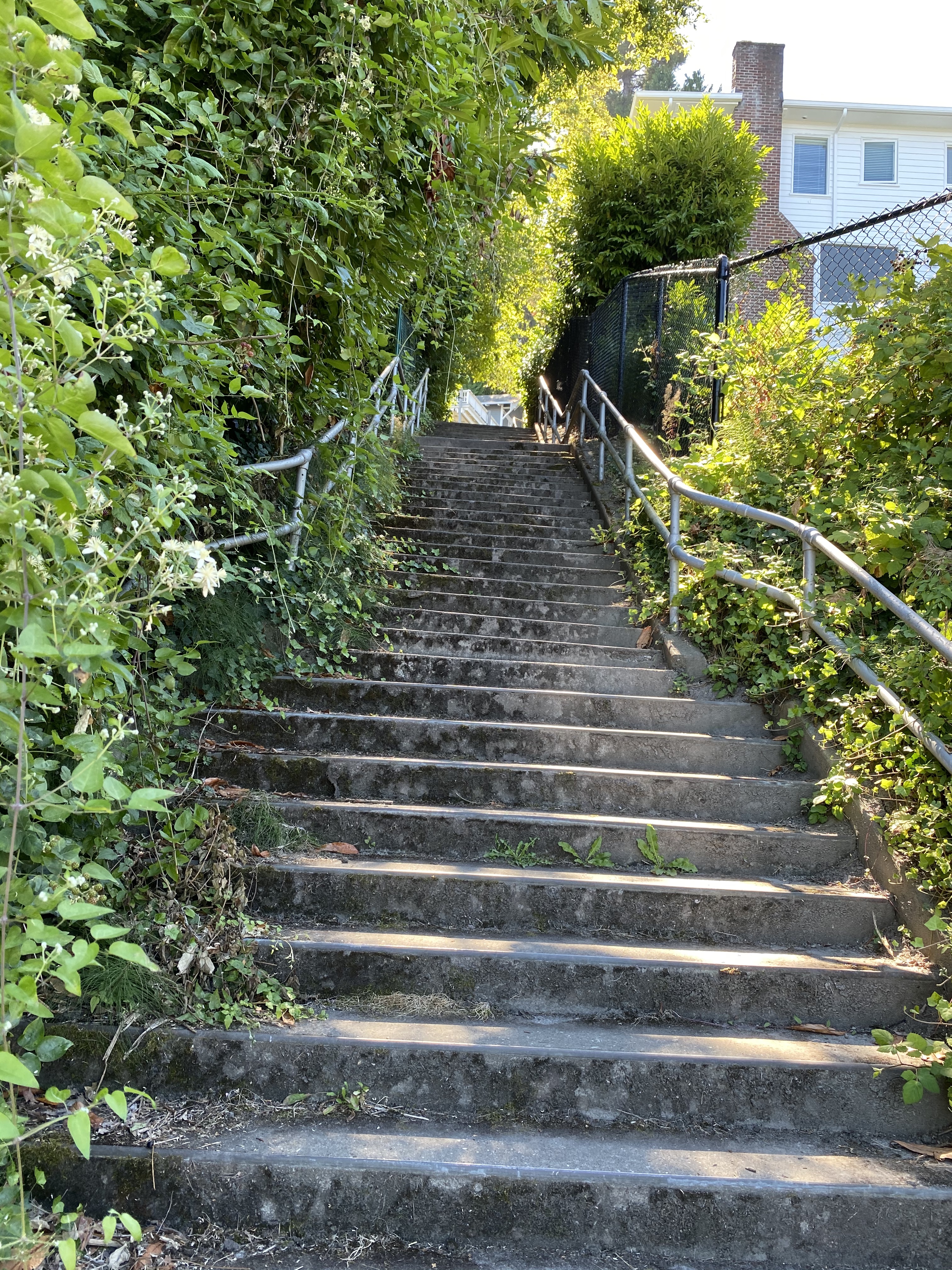
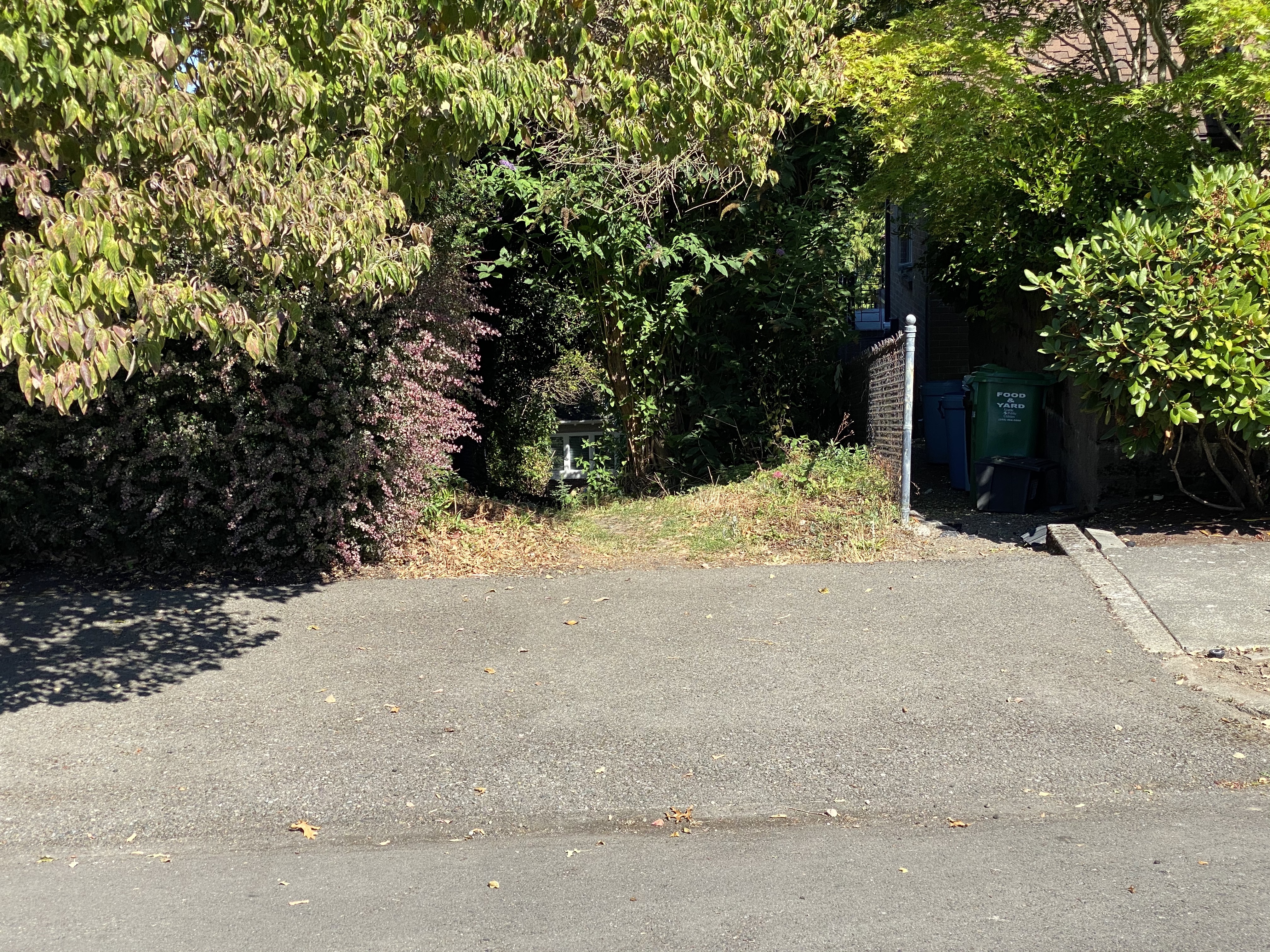
From the top of the switchbacks, we headed for an easy-to-overlook stairway leading down to Lake Washington Boulevard. If you're looking at a map app on your phone, these stairs are located on Shoreland Dr S, near the north end of Mt. Claire Park. At the bottom of the stairs, with no cars buzzing along, we found this stairway entry to the Boulevard to be easy and safe. The second picture shows the stairs from the bottom looking up. We went years driving along Lake Washington Boulevard at 35 mph or so without seeing it!
Here's a blissfully quiet weekday scene on Lake Washington Boulevard. It will stay closed to cars through at least September 8, and possibly through the end of September.
From here, our walk meandered for a leisurely six-tenths of a mile along Lake Washington Boulevard. We watched some people lounging along the shore; others tossing sticks into the lake for their dogs to splash after, and always Mercer Island, a constant presence across the water.
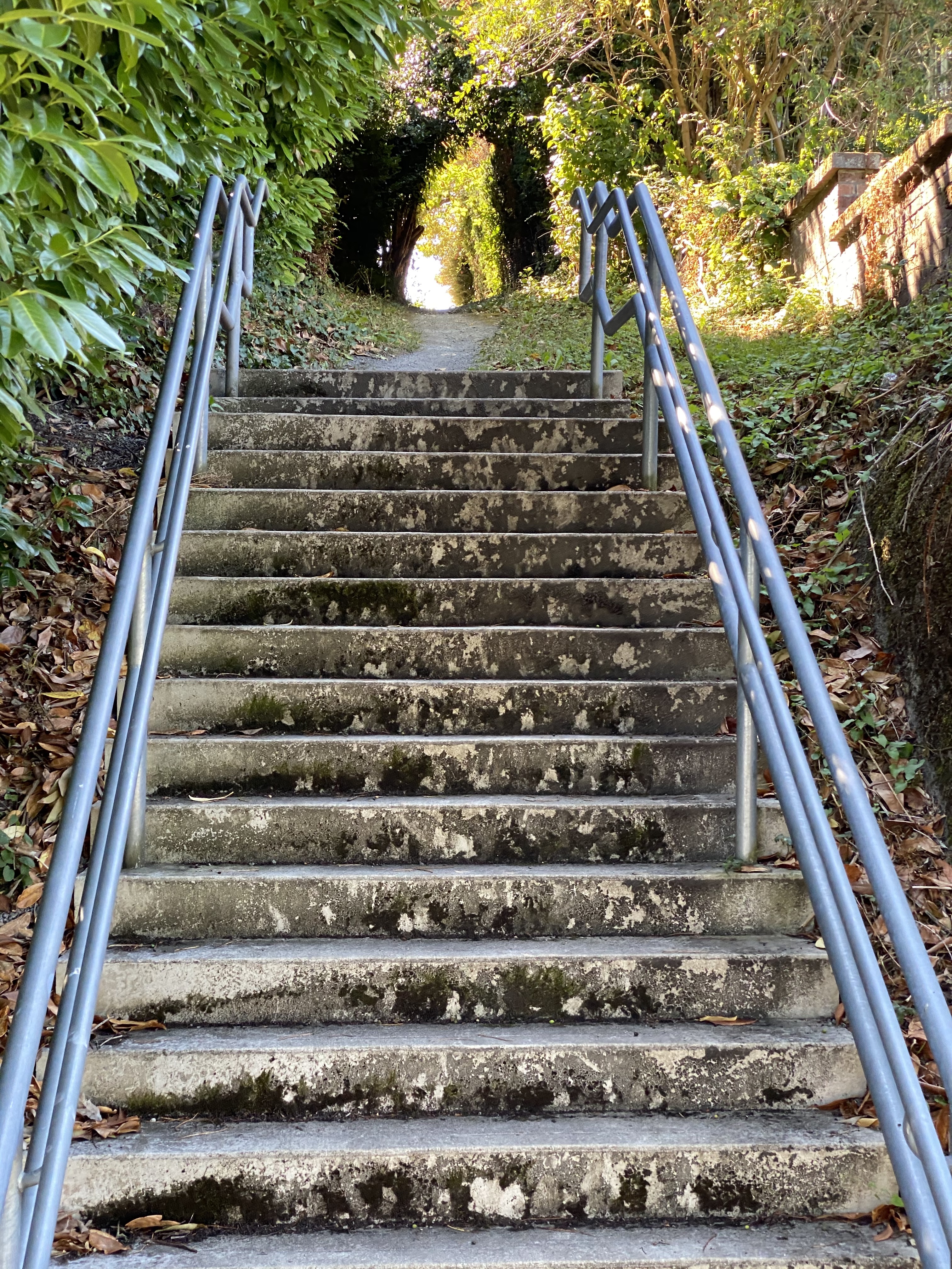
At S Horton St we took a slanting lane uphill from the Boulevard. Our goal was the base of the steps at S Hinds St and Sierra Dr S, from where we would turn back toward our starting place. The S Hinds steps quickly give way to a dirt path all the way to the next block, Cascadia Ave S. Looking back from there, you can see how nondescript this public right-of-way is (second picture). How many people would discover it, not knowing it is there?
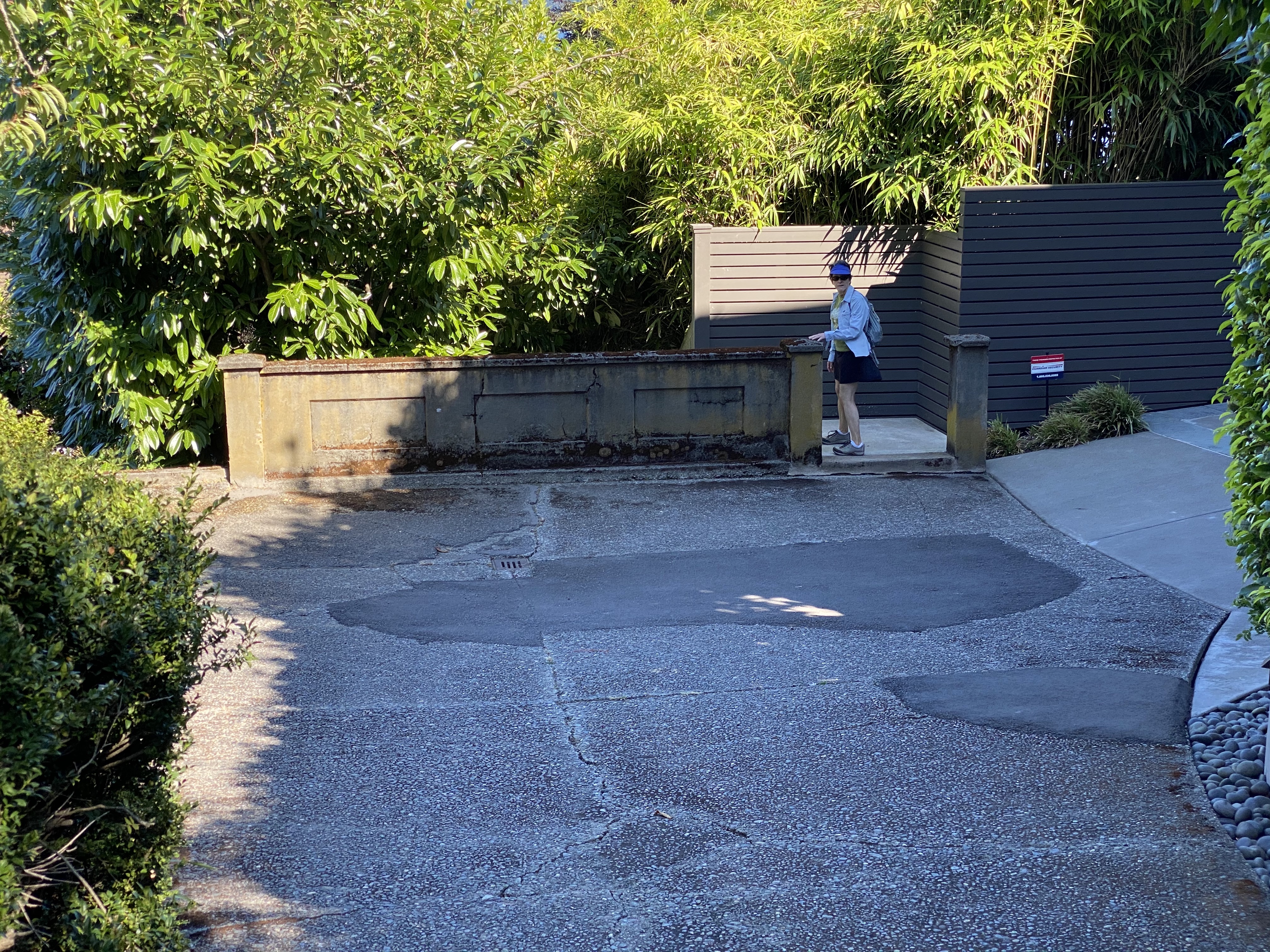
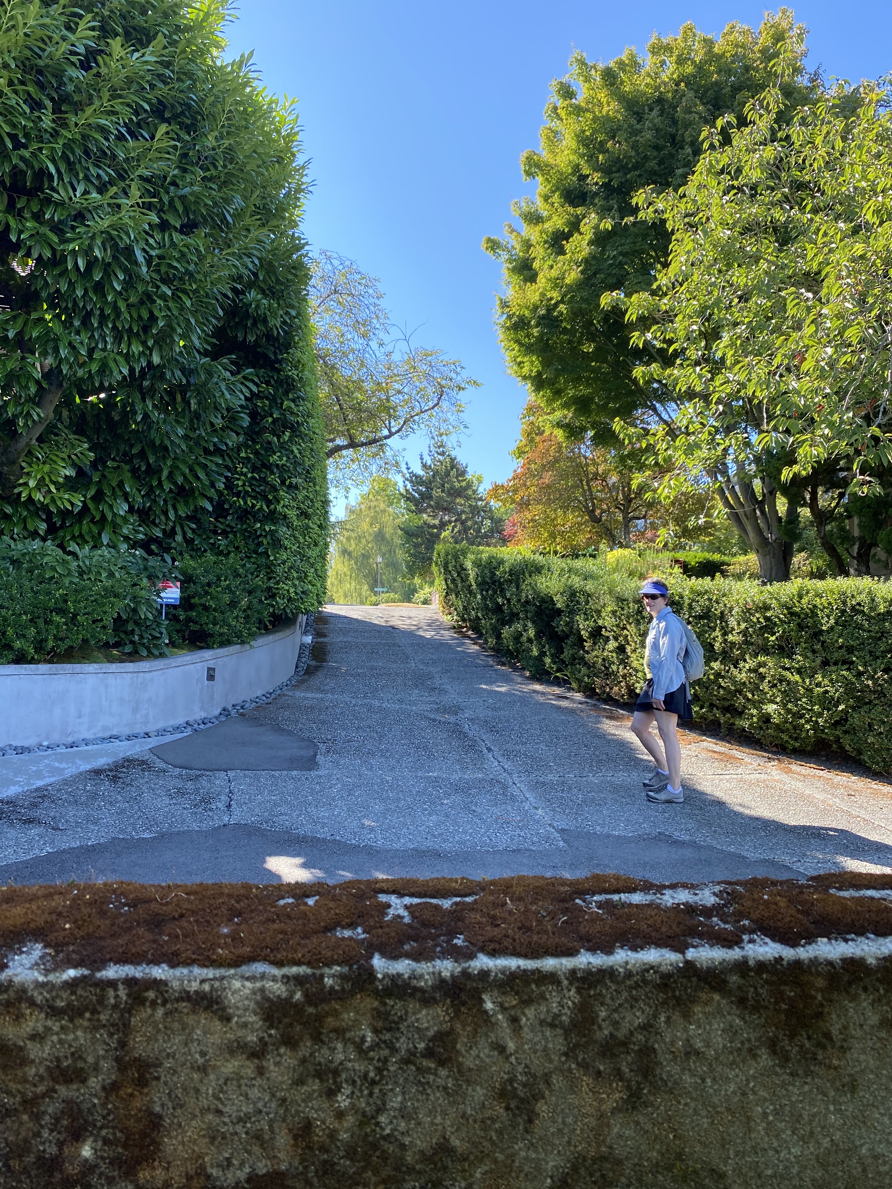
The next stairway is unusual too, and worth checking out. It's at S Horton St between Cascadia Ave S (at the top) and Sierra Dr S. It's well-hidden, invisible at the base of a long, seemingly private driveway that ends in a low wall. Despite appearances, this driveway is a bona-fide city right-of-way. The first picture below shows where the head of the stairs ducks behind the low wall. The second picture gives a good view of the extended driveway between the street and the top of the stairs. We wonder if the homeowners pay a standard "encroachment fee" for the use of this city right-of-way...
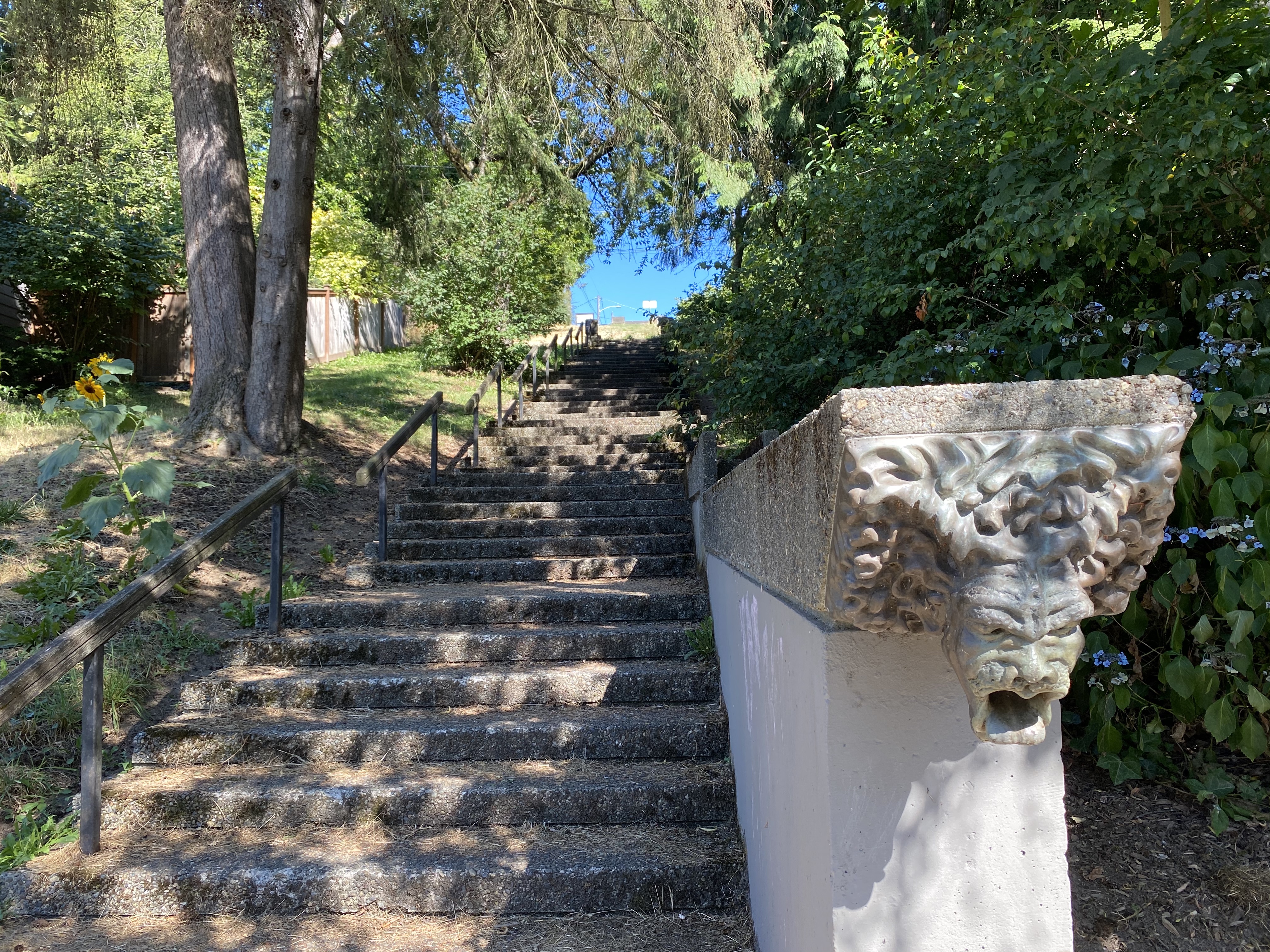
Turning back, we took S Horton St, with another set of stairs running along the Horton Hill Corridor. Our favorite feature of this stairway is the leonine working waterspout, pictured below.
Our final leg took the broad, winding, tree-lined Mt Baker Boulevard back to Mt. Baker Park. The last picture shows us heading up the new Mt. Baker Park stairway to the neighborhood where we started. The entire loop is about 3.7 miles.


 Share Article →